|
|
Benseather.com Forecast
|
|
Bensweather.com Forecast Updated: Tuesday, Jul 01 @ 03:06pm
|
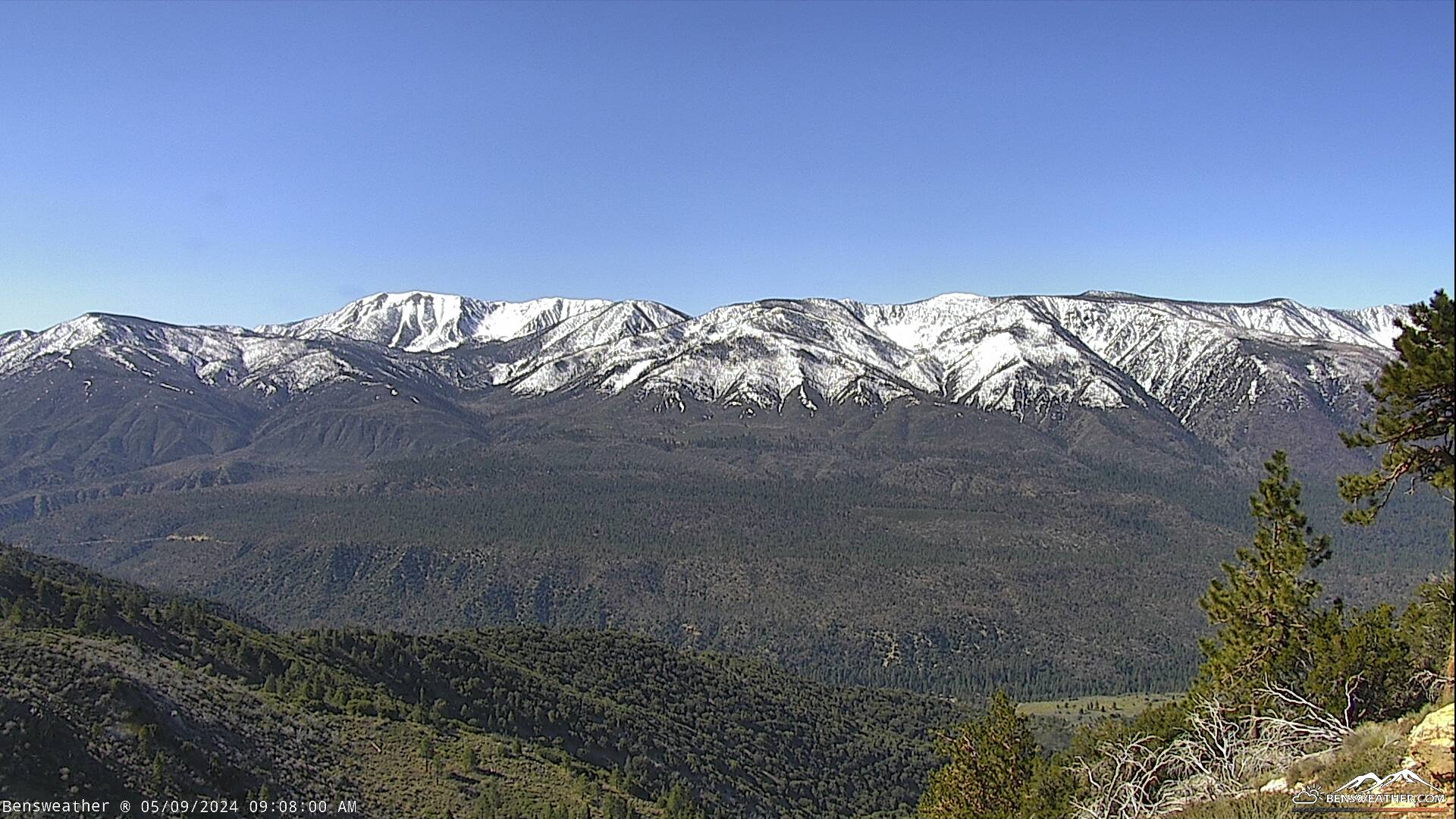
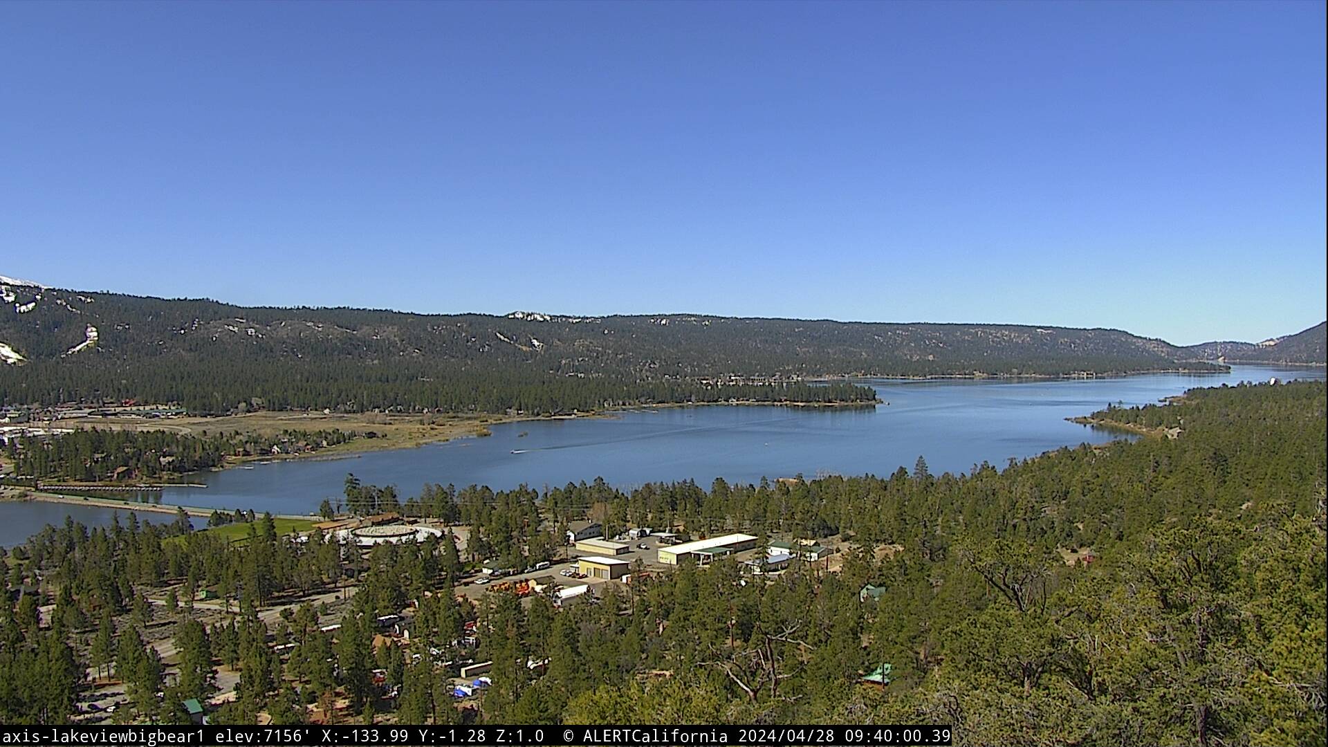
| Looking at seasonal summer weather out there with dry weather and near-normal temperatures. A weak low-pressure system will spin up off the Southern California coast through midweek for some minor cooling. This low may even draw up a bit of tropical moisture Tuesday and Wednesday. While instability looks marginal at best, this will need to be monitored for possible afternoon convection. Otherwise, expect partly cloudy skies on Tuesday and Wednesday with highs in the upper 70s to lower 80s while overnight lows cool to the 40s. Our weather looks perfect through the Independence holiday weekend as temperatures remain close to average and our forecast dry. The monsoon flow has become active across Arizona, but moisture will stay to our east for now.
|
|
 |