
Today Chance Snow Showers |
Wednesday Slight Chance Snow Showers |
Thursday Snow Showers Likely |
Friday Snow Showers Likely |
Saturday Slight Chance Snow Showers |
Sunday Mostly Sunny |
Monday Sunny |
|
| High: 37 °F | High: 37 °F | High: 40 °F | High: 34 °F | High: 39 °F | High: 43 °F | High: 48 °F | |
Tonight Slight Chance Snow Showers |
Wednesday Night  Partly Cloudy |
Thursday Night  Snow Showers Likely |
Friday Night  Chance Snow Showers |
Saturday Night Slight Chance Rain And Snow Showers |
Sunday Night  Mostly Clear |
Monday Night Mostly Clear |
|
| Low: 21 °F | Low: 21 °F | Low: 24 °F | Low: 25 °F | Low: 26 °F | Low: 28 °F | Low: 28 °F | |
Ben's WX Summary
- Updated: Tuesday @ 10:12am
Another winter storm is currently moving through the area with showers expected to linger today ahead of another short break between storms tomorrow. Travelers should be prepared for hazardous winter weather driving conditions and carry tire chains! As low pressure slowly drifts through the area today, expect partly to mostly cloudy skies with scattered snow showers. Cool and breezy with highs only in the 30s, west to northwest winds 10-15 mph as the snow level hovers near 5,000 feet. Showers will taper off tonight into Wednesday as we get a brief break in the action. Our third and final storm in this series will move into the area sometime on Thursday and Friday bringing another round of wintry weather. Forecast models still diverge a bit, should the low get closer to our area, lower snow levels and higher totals would result. If the low hangs further offshore, then totals would be less with higher snow levels; we're currently leaning towards the first scenario. After that, things appear to dry out for the weekend as high pressure aloft builds over the region, which will bring a prolonged period of drier conditions through Thanksgiving. After that, I don't see much on radar until possibly after the Thanksgiving Holiday. With the colder weather out there, resorts are now making snow!!!
| Current Conditions | Wind | Rain | Outlook | ||||||||||||||||||||||||||||||||||||
|
|
|
|
||||||||||||||||||||||||||||||||||||
| Humidity & Barometer | Snowfall | Moon | |||||||||||||||||||||||||||||||||||||
|
|
|
|||||||||||||||||||||||||||||||||||||
| UV Index | Solar Radiation | ||||||||||||||||||||||||||||||||||||||
|
|
||||||||||||||||||||||||||||||||||||||


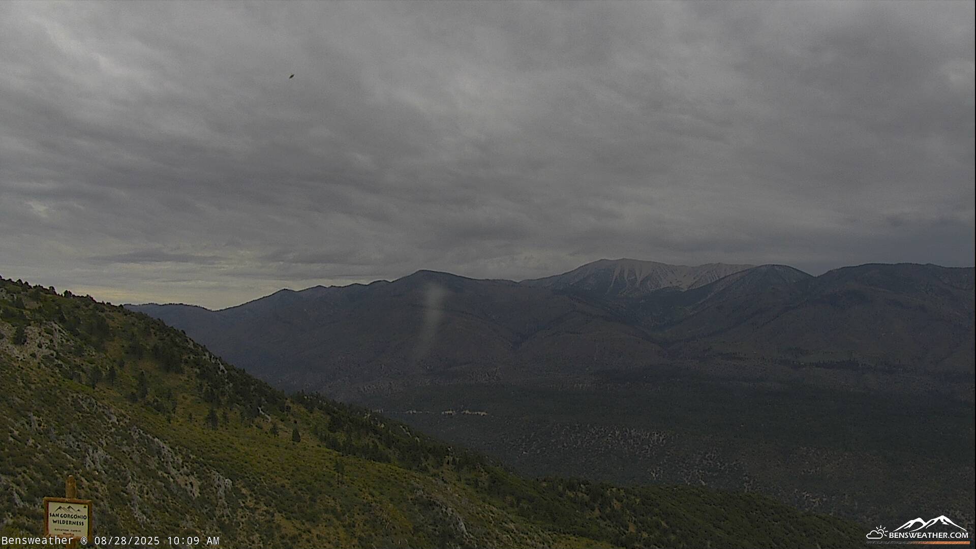
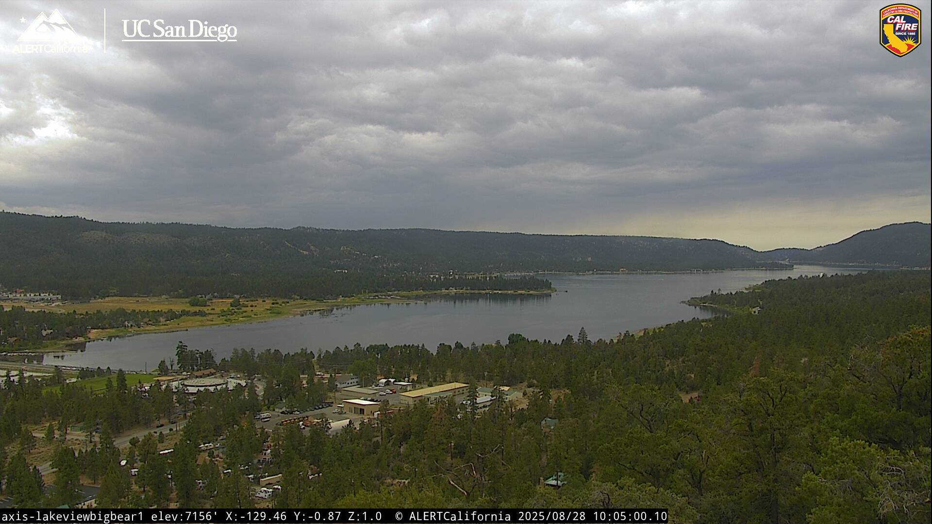
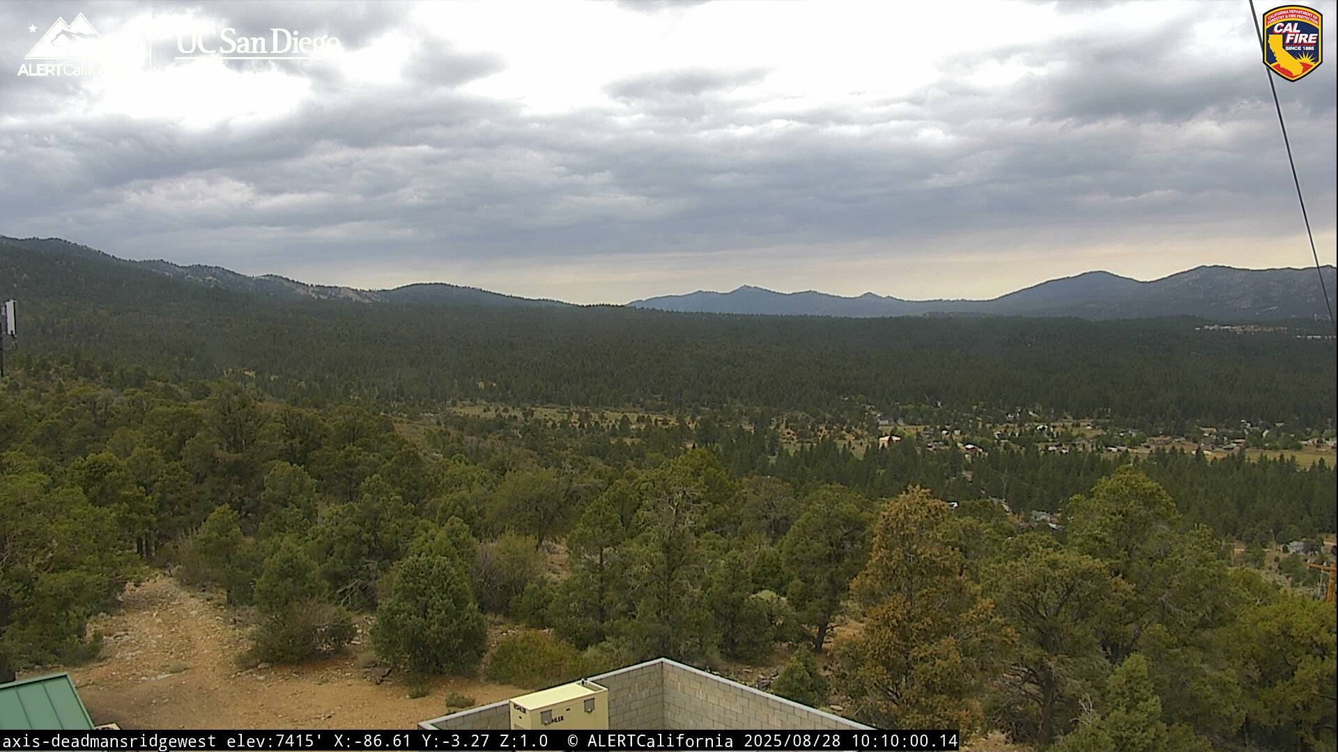
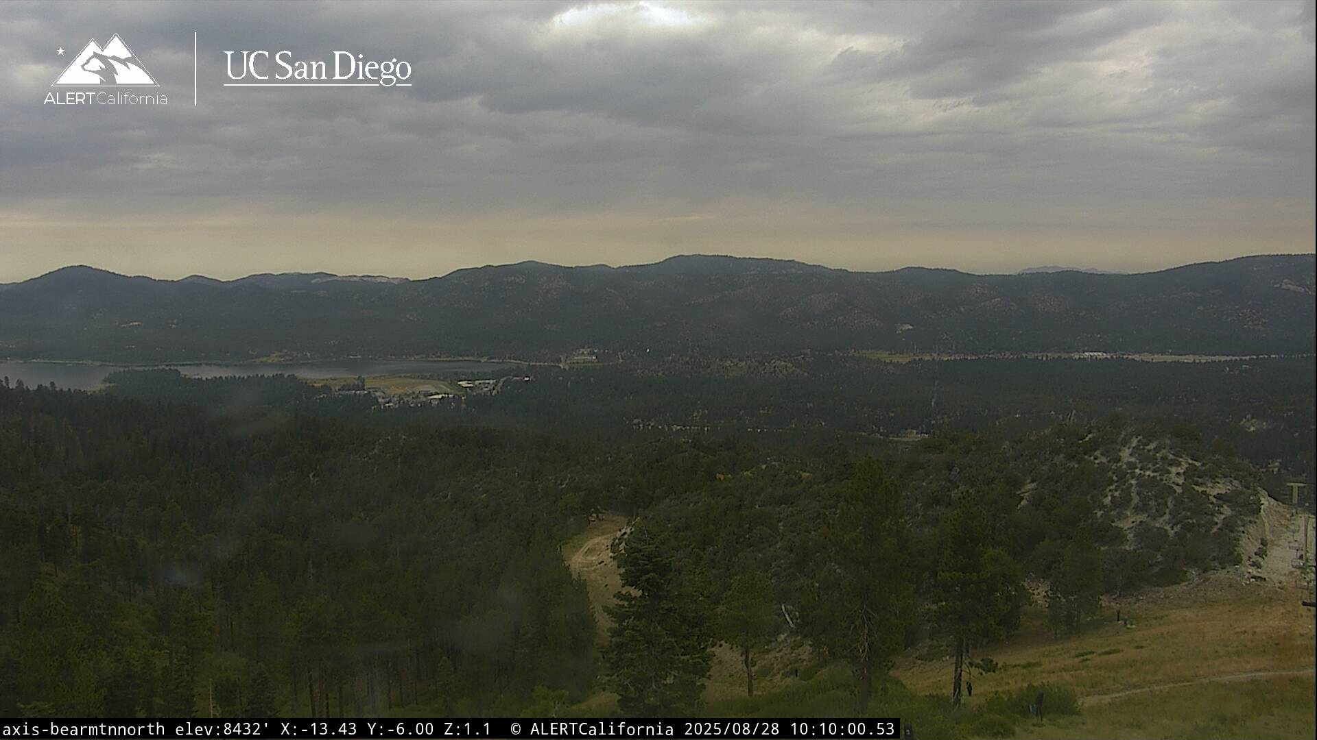
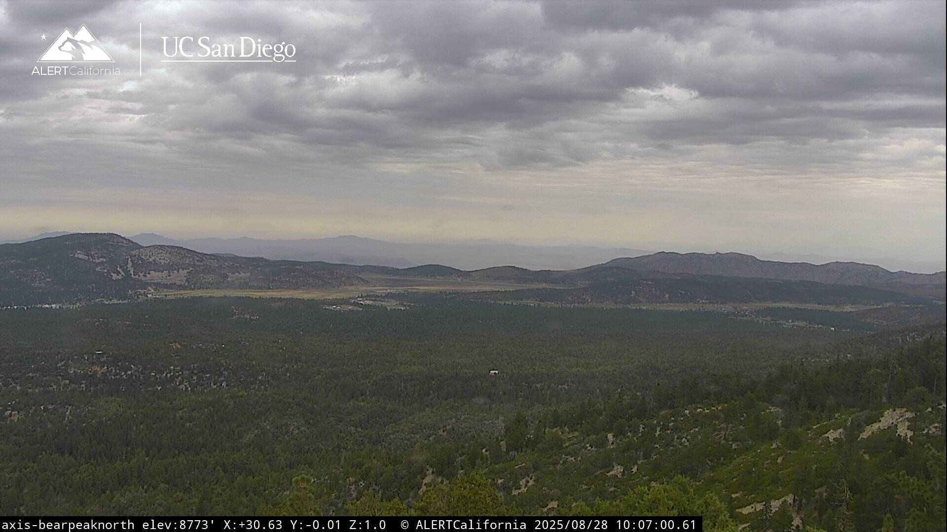
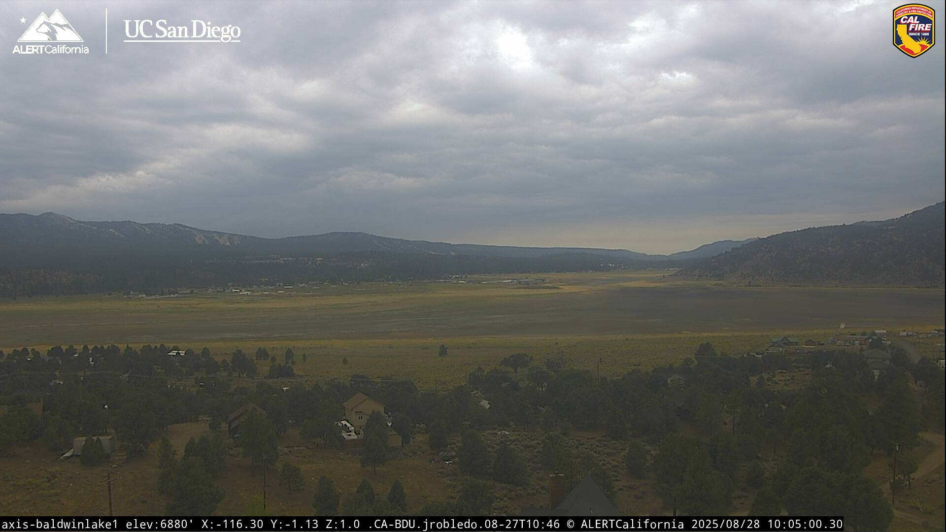
Live Cams