Ben's WX Summary
- Updated: Wednesday @ 03:10pm
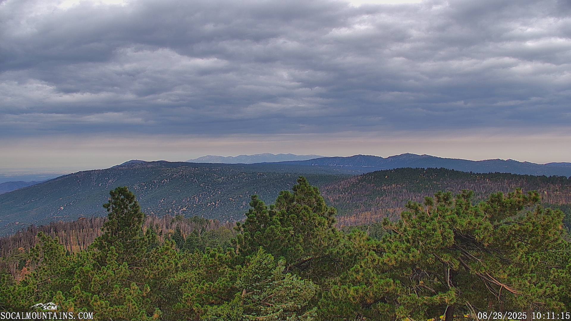
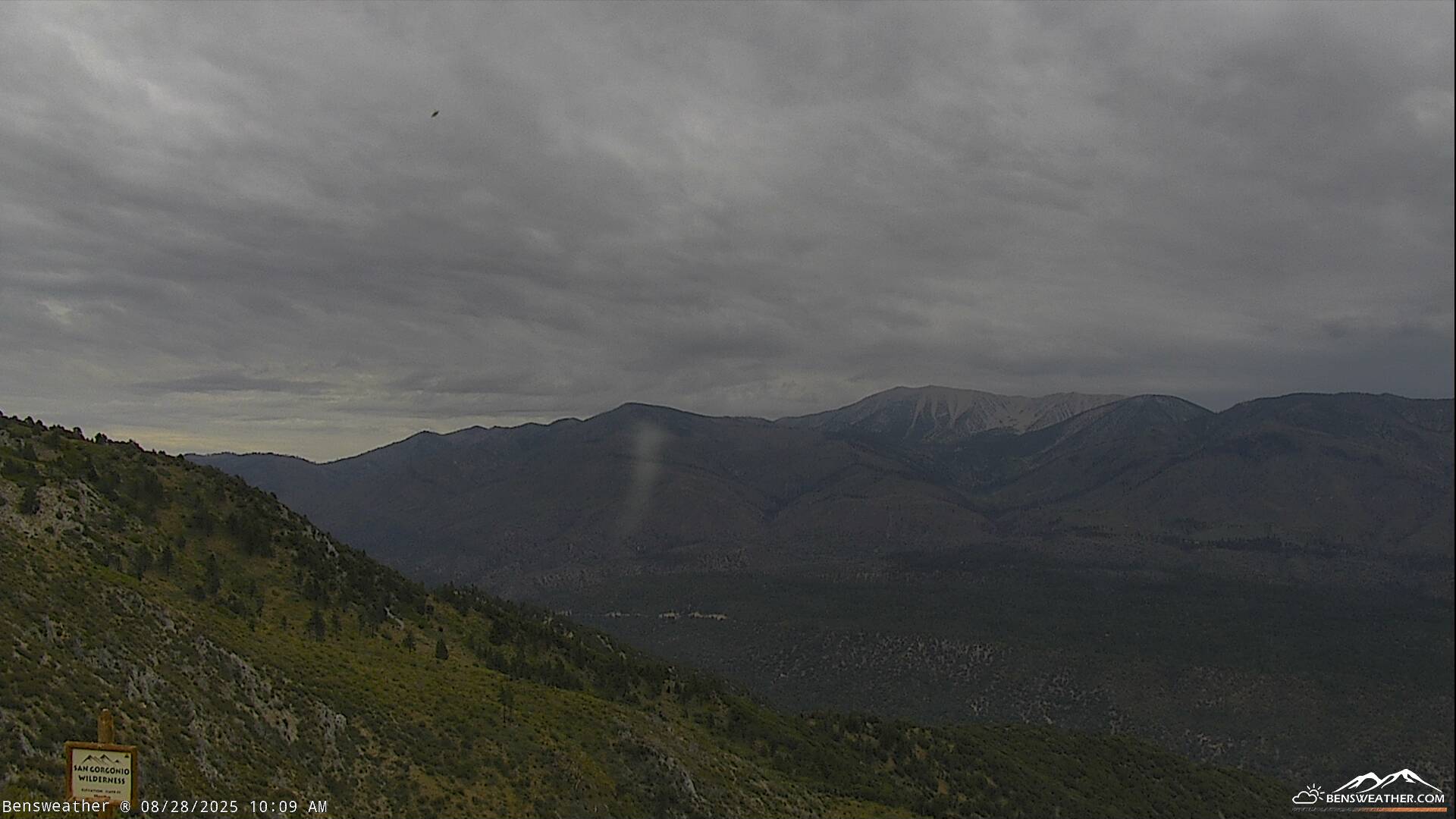
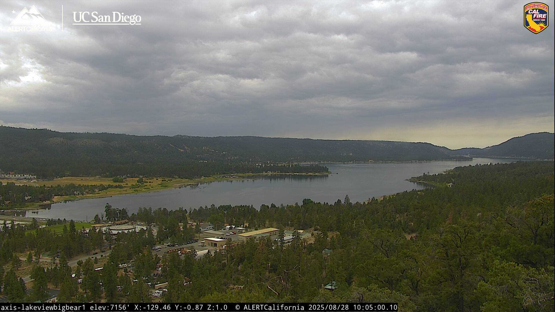
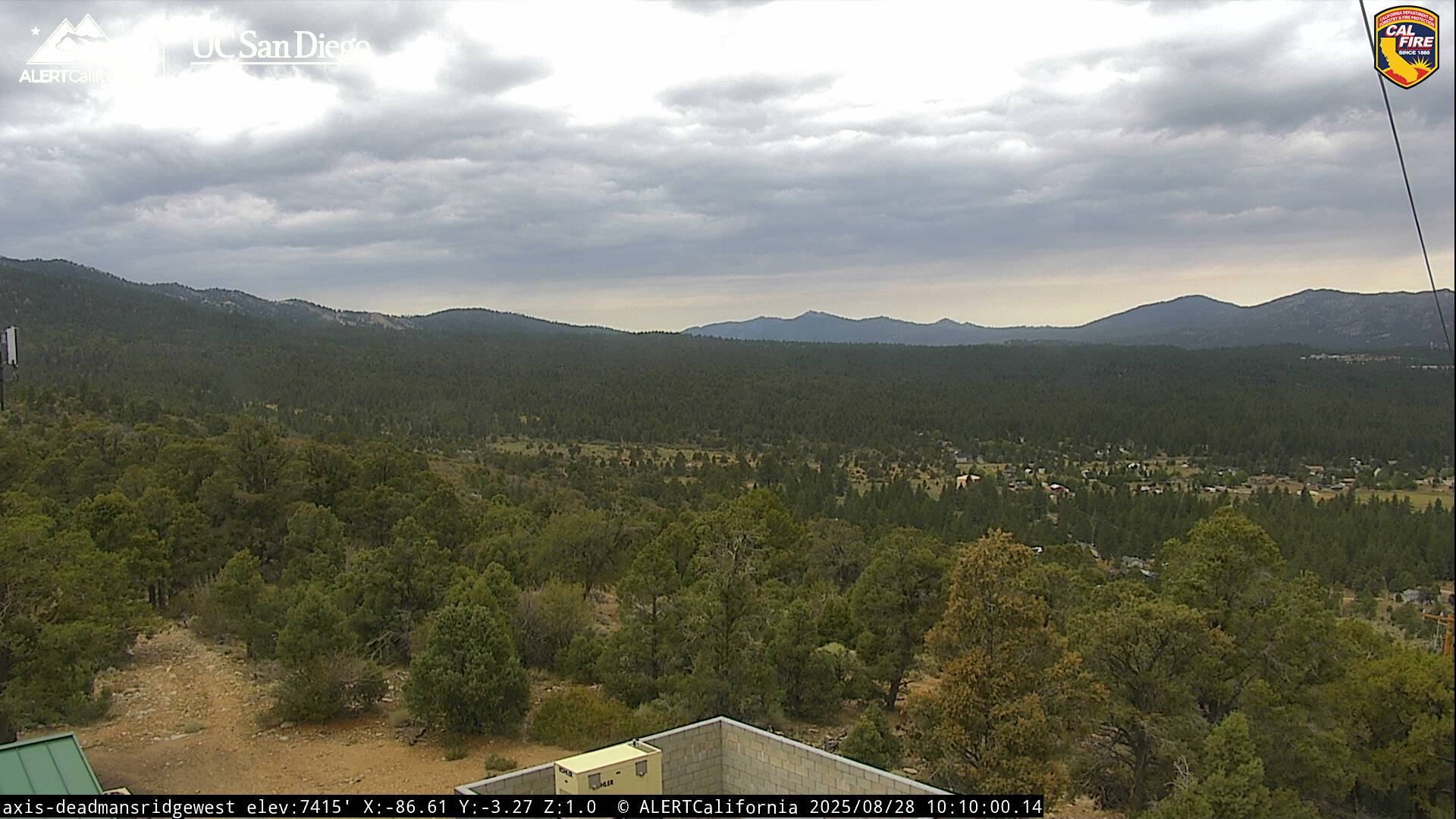
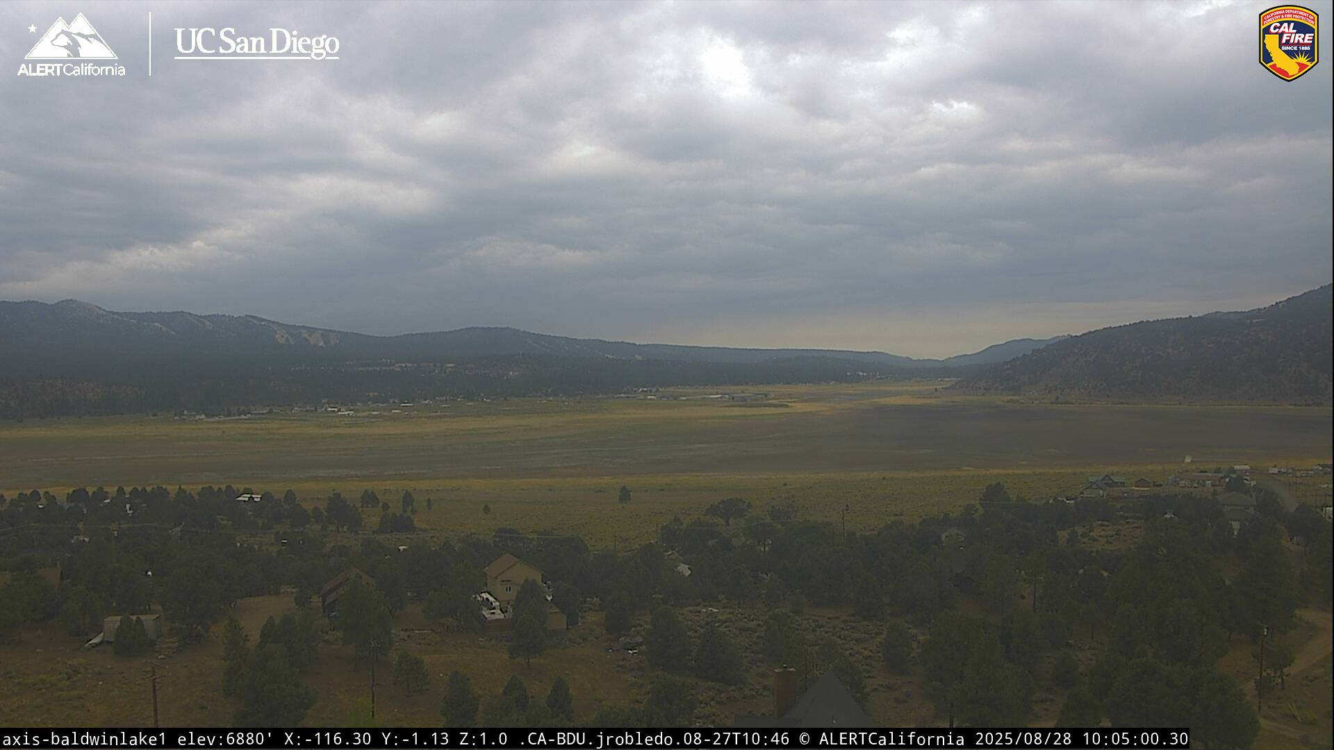
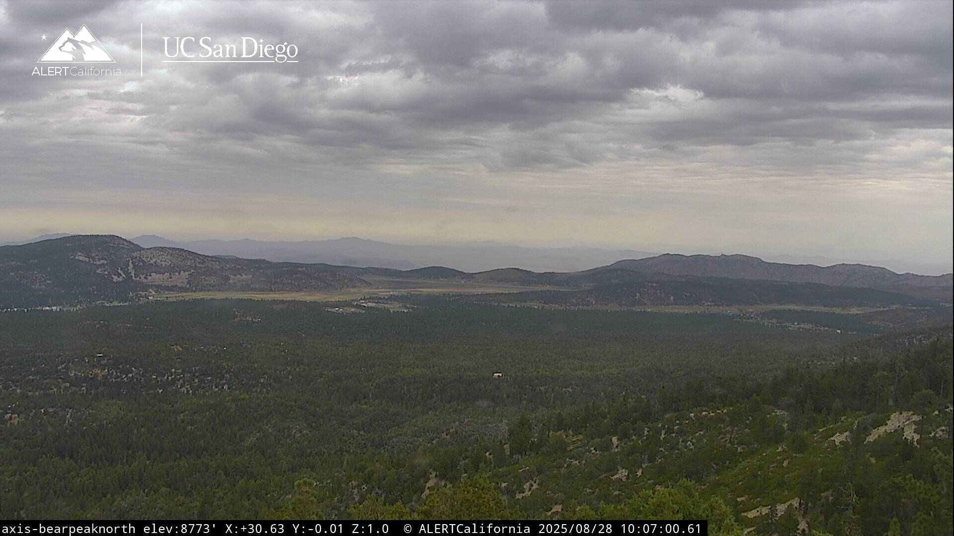
Another relatively quiet day out there today with some decent build-ups, but little in the way of thunderstorm activity. Unfortunately, a southwest flow has dried things out aloft above 500 mb, which limits instability and thunderstorm potential, with just a few sprinkles possible. Expect partly cloudy skies this evening with south to southwest winds 5-10 mph as lows drop into the 50s. Expect a fairly warm day tomorrow as highs reach the lower to mid-80s. We'll also see some afternoon clouds with an isolated shower or thunderstorm still possible. Temperatures will cool slightly on Friday through the weekend as we remain on the western edge of the monsoon flow, so a thundershower or two cannot be ruled out with highs in the upper 70s. A stronger onshore flow will develop next week, which will effectively cut off the monsoon flow, at least temporarily, with near-normal temperatures forecast over the next 7-10 days. It's still early in our monsoon season, especially across Southern California, so we will have plenty of opportunities for thunderstorm activity later in July through September, especially as we start to draw additional moisture up from tropical systems in the East Pac.