434
FXUS65 KVEF 041745
AFDVEF

Area Forecast Discussion
National Weather Service Las Vegas NV
945 AM PST Tue Nov 4 2025

.KEY MESSAGES...

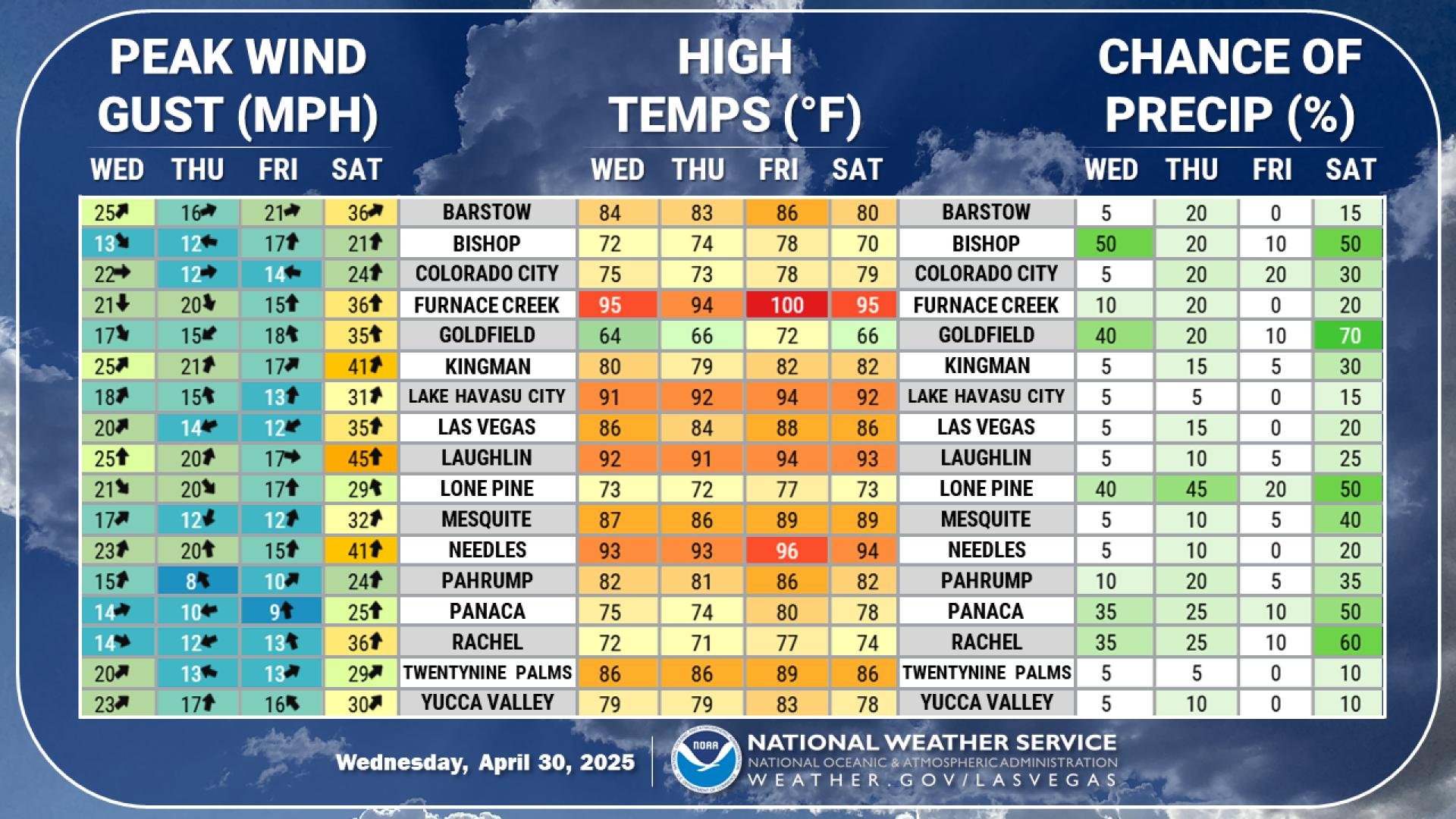
* Our next system moves through Wednesday, increasing winds across
  the area and bringing precipitation chances to the eastern Sierra.

* Otherwise, relatively calm and dry conditions are expected as
  temperatures remain above normal.

&&

.DISCUSSION...through Monday.

After another day of quiet weather today, a shortwave trough will
move through the PacNW and Great Basin on Wednesday. Not overly
strong and more of a glancing blow, chances for widespread,
impactful winds (40+ mph) are low (less than 25%). Instead, any
wind impacts are likely to be the result of localized downsloping
in places likely US-95 near Desert Rock/Mercury and US-395 in the
Owens Valley. The latter has the greatest potential (~50%), and
these probabilities may be understated a bit with the seemingly
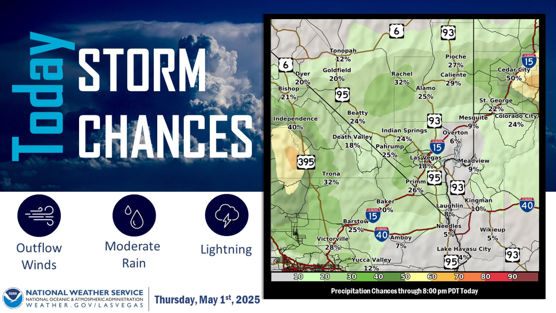
favorable setup. Beyond the winds, it is worth noting that there
are 20-30% PoPs on Wednesday in the eastern Sierra. Amounts will
likely be light as chances for 0.25"+ are only ~20%, resulting in
~30% probabilities for 1"+ of snow above 9,000 feet. Precipitation
chances and winds quickly diminish by Thursday morning.

Other than Wednesday`s system, the weather across the region looks
rather quiet. Winds remain light, above-normal temperatures persist,
and precipitation chances stay below 10%. Coolest temperatures
expected Thursday, but even then highs are forecast to be between 70
and 85 degrees in most locations.

&&

.AVIATION...For Harry Reid...For the 18Z Forecast Package...Light
winds following diurnal directional patterns will continue
through late Wednesday morning. Thereafter, winds are expected to
veer and settle out of the south-southwest, becoming elevated
with sustained speeds around 10KT, and intermittent higher gusts
to 15-18KT possible near or just beyond the end of the forecast
period. VFR conditions will prevail, with FEW-SCT clouds around
25kft AGL overspreading the area by sunrise, and FEW mid-level
clouds around 15kft AGL by early afternoon.


For the rest of southern Nevada, northwest Arizona and southeast
California...For the 18Z Forecast Package...Winds across the
region will generally follow typical diurnal directional patterns
the next 24 hours, with speeds around 8KT or less. The exception
will be through the Owens Valley, including BIH, where gusty up-
valley winds are expected to develop late this morning, persisting
through the forecast period with gusts increasing to around 25KT
overnight. Winds are also expected to increase across the
mountains of southeastern California by early Wednesday morning,
yielding increased turbulence to the lee of the mountain ranges.
Otherwise, VFR conditions prevail, with high clouds around
20-25kft AGL overspreading the area tonight through Wednesday,
and persisting at BIH for the duration.


&&

.SPOTTER INFORMATION STATEMENT...Spotters are encouraged to report
any significant weather or impacts according to standard operating
procedures.

&&

$$

DISCUSSION...Woods
AVIATION...Phillipson

For more forecast information...see us on our webpage:
https://weather.gov/lasvegas or follow us on Facebook and Twitter
NWS Flagstaff Office

